The World Health Organization (WHO) has showed the correlation between air pollution and human mortality through several studies. Indeed, the WHO estimates that about 7 million people die because of air pollution-related diseases every year. Human beings are most of the time directly exposed to a complex mixture of air pollutants (nitrogen dioxide, ozone, carbon monoxide, particulate matter, etc.) emanating from various sources. As an example, 95% of urban citizens in Europe have been exposed to levels of ozone which exceed the regulatory levels in 2017.
Tackling this complex issue requires both obtaining the most detailed air quality data and communicating it to citizens and communities in an efficient and specific way. However, air quality monitoring is complex as the concentration of air pollutants strongly varies in space and time. Today, the two main ways to obtain relevant information about air pollution are :
Reference stations. Although they provide accurate measurements, the gas and particulate analyzers they require are costly and heavy, thus limiting the deployment of such stations. In addition, their spatial cover is sparse ;
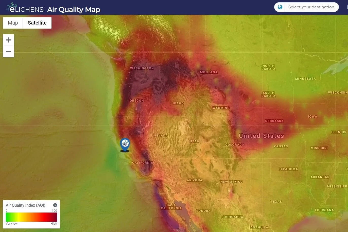
Pollution maps and forecasts. Existing solutions do not display pollution at street level (e.g. the Copernicus database) or are based on models that require extremely detailed input data (high resolution emission inventories, detailed city topography, vehicles characteristics, etc.). Besides, building such databases is a long, complex and costly process, making it impossible to generalize worldwide.

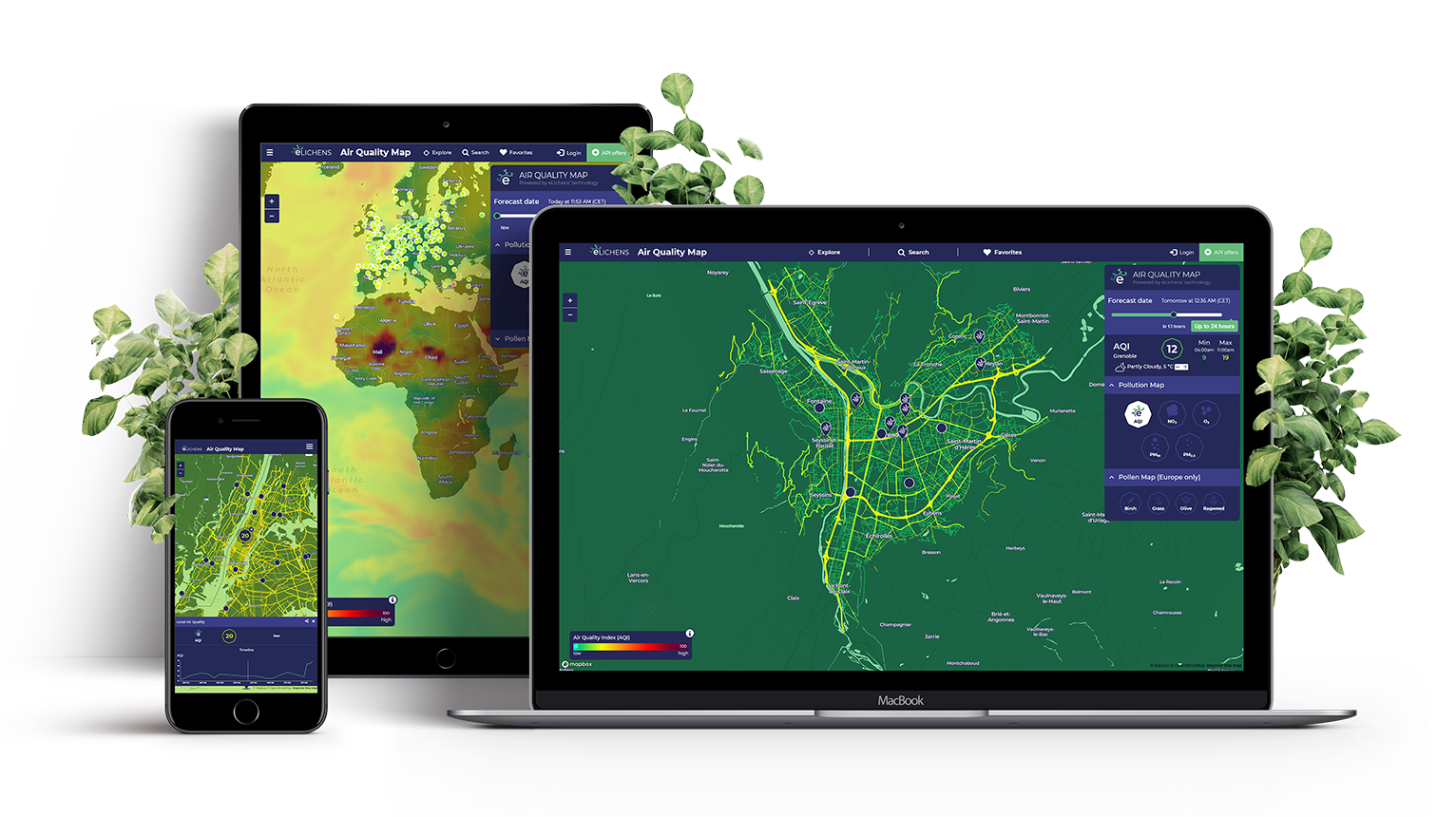
To overcome these limitations, eLichens has developed a new approach and designed a solution that empowers citizens and communities through increased knowledge, thus enabling more effective and local actions to limit exposure to particulate matter and other pollutants. eLichens’ Outdoor Air Quality Map is based on both local and global data and aims at displaying urban pollution at a high-resolution level. The displayed data lies on :
a first assessment based on a high-resolution gas dispersion model. The best State-Of-The-Art weather and chemical transportation models coupled with a street-level gas dispersion model are used to obtain an accurate assessment of air quality;
Proprietary patented Data Management algorithms which integrate real time measurements from a dense network of cost-effective Outdoor Air Quality Monitoring Stations designed by eLichens. The use of eLichens’ affordable micro-sensors in those Stations makes it financially possible for communities and Smart cities to deploy many of them in an urban area, and therefore improve the output of the computer model.
A first proof of concept was carried out starting from January 2019 with the deployment of six of eLichens’ Outdoor Air Quality Monitoring Stations in Grenoble, France. With only a few Stations and the exploitation of their measurements, we obtained significant results as described in our whitepaper.
RELATED PRODUCTs
If you’re interested in buying eLos, the outdoor air quality station of eLichens, find more information in our store or in the product page, and finally monitor the air quality you want.
eLos is an autonomous, solar-powered air quality station. eLos provides citizens, communities and organizations the most accurate and complete real-time data about outside air quality, wherever they need it.
eLos is now available in USA and European countries only, but will be very soon available in Japan. Price excluding taxes.